Summerhaven Coastal Engineering Services
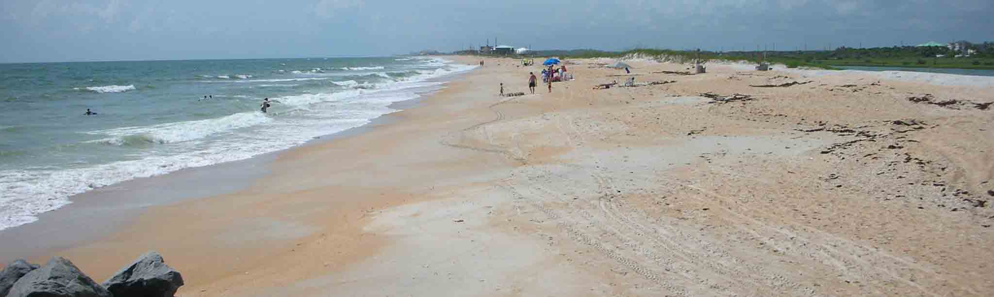
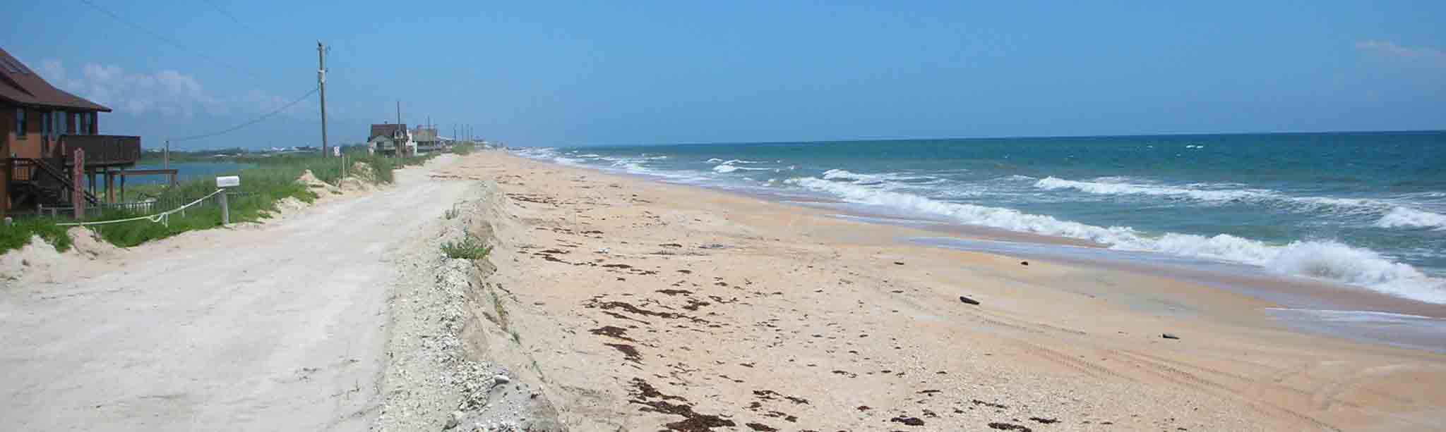
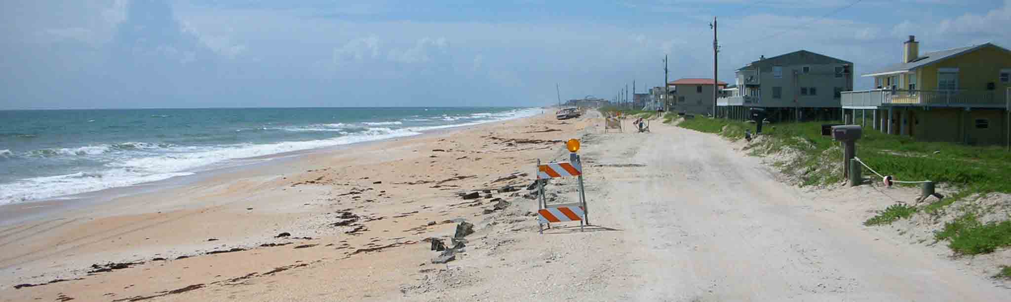
MRD Associates, Inc. was tasked to assess viable engineering alternatives to mitigate for the long-term erosion occurring along the Summerhaven shoreline. This included providing upland protection to existing structures as well as to the existing ocean-front road (Old A-1-A). Analysis of these alternatives includes practicality, constructability, and permitting in addition to project performance and establishing the cost-effectiveness of the three different alternatives. The three (3) preliminary alternatives assessed between R-198 and R-208 in this study were as follows: Alternative 1: beach berm restoration without structures; Alternative 2: beach berm and dune restoration without structures; and, Alternative 3: beach berm and dune restoration with structures between R-200 and R-208.
MRD conducted a detailed shoreline and volume change analysis providing a reasonable representation of the existing coastal processes for the shoreline in the vicinity of the Matanzas Inlet. An understanding of these coastal processes was important to implement a cost-effective solution to offset the long-term erosion and provide upland protection to the critically eroding shoreline within the Summerhaven study area. Preliminary alternative designs were created by examining historical shoreline position and volume changes, and then further refined by use of the cross-shore numerical model SBEACH.
MRD advanced the recommended Alternative 2 (beach berm and dune restoration) as the primary solution to advance to preliminary design. Alternative 2 was estimated to require approximately 1,200,000 yds3 of sand to construct the project. Based on a preliminary assessment, this alternative would provide storm protection up to a 30+ year return interval and have a design life between 6 and 8 years. However, periodic maintenance at a greater frequency (every 4+ years) may be required to offset the “hot spot” located immediately downdrift (south) of the inlet between R-198 and R-202. A suitable sand source will need to be identified and the preliminary design further developed and refined. This would include updated beach and offshore surveys, ebb and flood shoal surveys, updated shoreline and volume change analysis, application of a numerical wave and shoreline change model such as STWAVE, DNRBS and/or GENESIS and environmental investigations.